


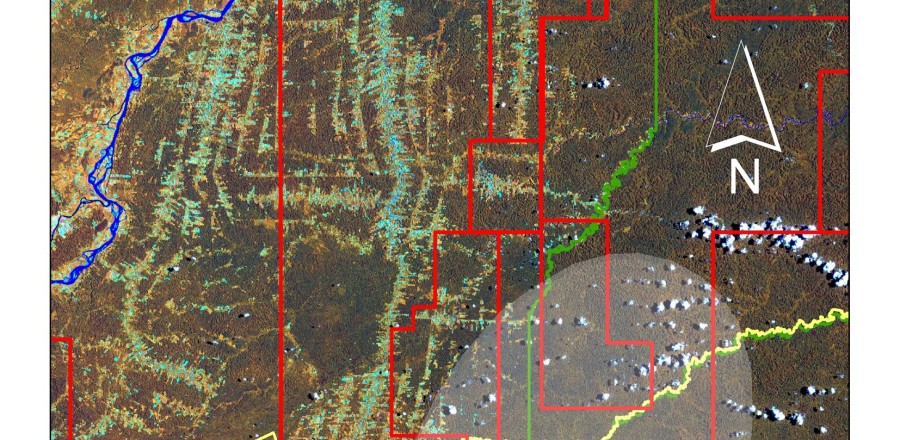
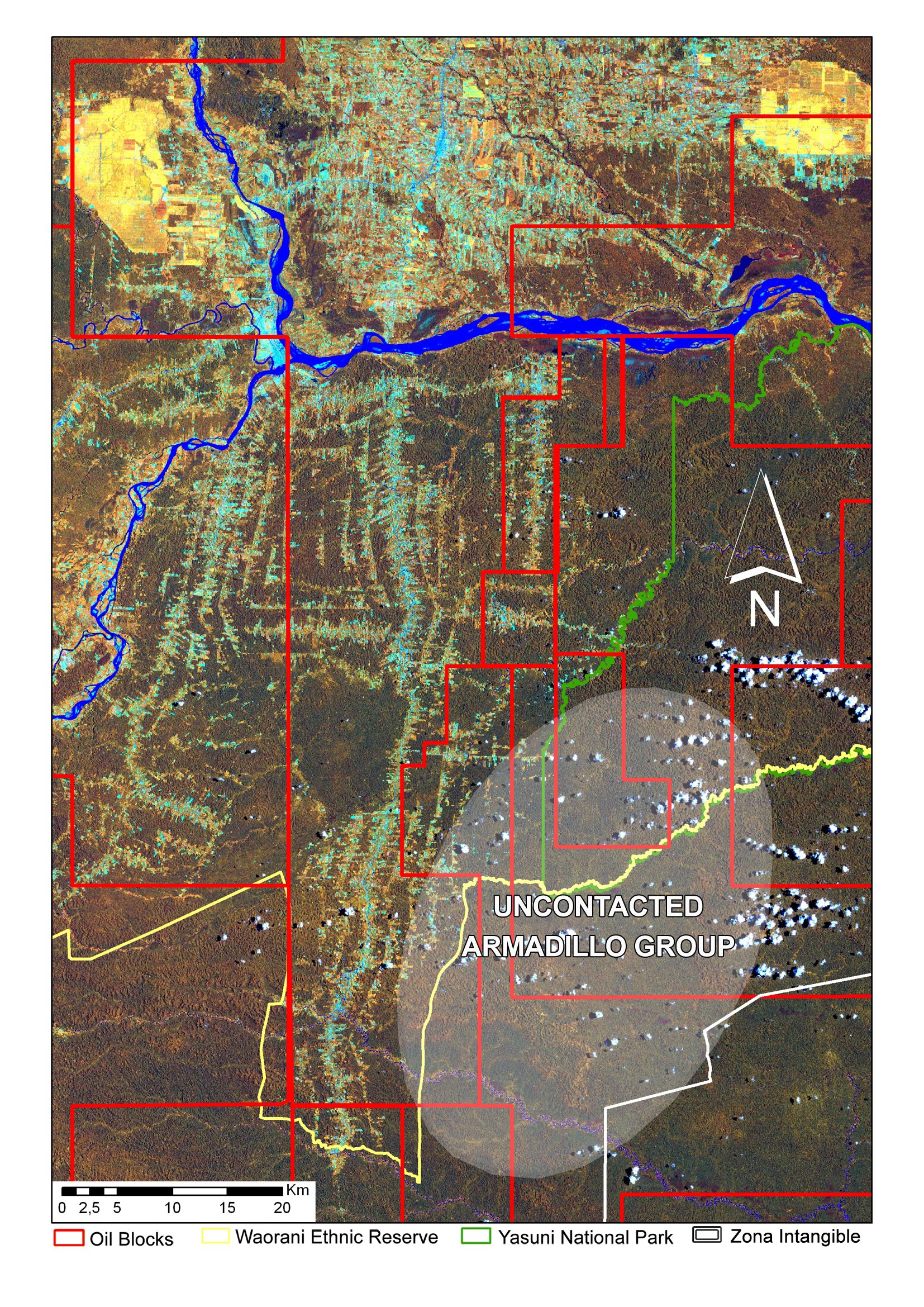
Land cover map (Landsat ETM+, 2002) of the Via Auca territory and anthropic pressures on the Zona Intangible and the uncontacted indigenous group. Deforestation processes developed by road systems around the Via Auca main axis, African Palm cultivations (yellow areas at the north sector), Zona Intangible Tagaeri Taromenane, Armadillo uncontacted clan and oil blocks.